ABOUT US
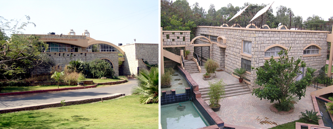 Meet the IGET Team a core group of professionals from the Institute of Environment Education and Research, Bharati Vidyapeeth University, (BVIEER) Pune. The passion for open source geospatial techniques coupled with a burning urge to make a difference in geospatial education in the country binds us together.....
The Institute of Environment Education and Research, Bharati Vidyapeeth University (BVIEER) is unique educational and research institution in the fields of geoinformatics and environment sciences. The distinctive characteristics of the BVIEER are its wide mandate of teaching, research and extension which have been major thrusts. Its innovative teaching program and curriculum supplements classroom teaching with online courses and field work, guest lectures, group discussions, projects and internships. It has worked in the field of environmental policy building and furthered academic excellence through various collaborations with international Universities and organizations. The Institute has several notable achievements in various sectors that have contributed to policy formulation.
The academic courses of the BVIEER include doctoral and Post Graduate programs in Geoinformatics and Environment Science and Technology. The other courses include diplomas in Wildlife Conservation Action, Sustainable Development and Environment Law being implemented in collaboration with premier institutions in the country. For more information log on to: http://ieer.bharaitvidyapeeth.edu
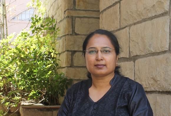 |
Shamita Kumar,, Principal Investigator is a Professor of Geoinformatics at the Institute of Environment Education and Research-Bharati Vidyapeeth University (A NAAC accredited and reaccredited ‘A’ grade University), Pune. A Fulbright-Nehru Scholar she is presently a Visiting Professor at the University of Cologne, Germany since 2013. She is a member of the Expert Committee on Capacity Building for Geospatial Technologies of the Natural Resources Data Management Systems (NRDMS) of the Department of Science and Technology, Government of India. She has over twenty years of expertise in the field of capacity building besides diverse interests in various aspects of geoinformatics, landscape ecology, biodiversity science and policy and sustainable development. |
 |
Anand Shinde,Associate Professor has expertise in database management and GIS programming. His interests lie in desktop / web based GIS database application development. |
 |
Lakshmi Kantakumar,Research Scholar BVIEER brings with him experience in cartography and photogrammetry through his job with the Survey of India. He is passionate about urban modelling and is currently focussing on designing open source urban growth prediction models for his doctoral degree. |
 |
Prachi Dev,Program Officer for this project at BVIEER brings with her a passion for open source GIS. Her key interests lie in modelling especially the use of geospatial technologies for disaster mitigation and management. |
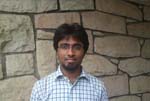 |
David Rodrigues, formerly worked as Program Officer BVIEER is presently Data Processor at FUGRO survey India. David discovered his passion for open source GIS while working on the project and has been strongly advocating the use of GIS among students and fellow colleagues. While we miss David, he continues to interact with the team in developing tutorials. |


