WELCOME TO IGET INDIA GEOSPATIAL EDUCATION
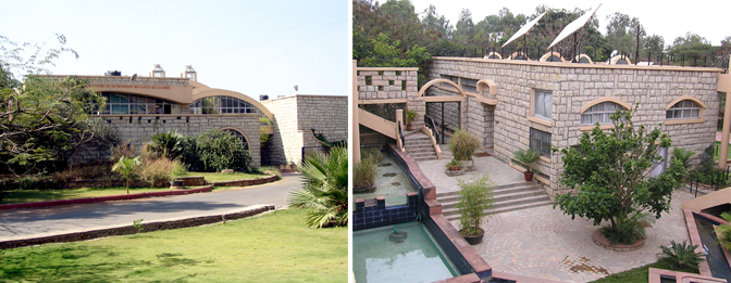
A dedicated group of professionals from the Department of Geoinformatics at the Institute of Environment Education and Research, Bharati Vidyapeeth Deemed University, Pune (BVIEER). Our collective passion for open-source geospatial techniques and a strong desire to revolutionize geospatial education in the country unite us.

About BVIEER
The Institute of Environment Education and Research, Bharati Vidyapeeth Deemed University, Pune (BVIEER), stands as a distinctive educational and research institution specializing in geoinformatics, environmental sciences and wildlife conservation. BVIEER's unique features encompass its broad mission encompassing teaching, research, and extension services, all of which are key focal points. The Institute's innovative teaching programs and curricula go beyond conventional classroom learning. BVIEER has been instrumental in geospatial and environmental policy development and has consistently strived for academic excellence through fruitful collaborations with international universities and organizations. The Institute has numerous notable achievements across various sectors, significantly contributing to policy formulation. BVIEER is deeply committed to nurturing spatial thinking among diverse stakeholders, firmly believing that spatial thinking can empower leaders at all levels and facilitate localization of the Sustainable Development Goals (SDGs).
BVIEER offers a range of academic courses, including doctoral and postgraduate programs in Geoinformatics and Environment Science and Technology, as well as Wildlife Conservation and Action. Additionally, various short courses, developed in collaboration with national and international partners, are periodically offered. For more details,
For more details, please visit our website BVIEER
About DST-NGP
Initiated in 1982, the erstwhile Natural Resources Data Management System (NRDMS) has successfully demonstrated utilities of geospatial technologies in decision making and developed capacity for geospatial data and information management at state, district and local levels at a pilot scale. The proof of concept phase being over, NRDMS has evolved into the National Geospatial Programme (NGP) with the following vision, mission and objectives:
Vision
Catalyzing the National Geospatial Ecosystem.
Mission
Promoting geospatial science and technology, policy, solution, capacity building, entrepreneurship and international cooperation for sustainable socio-economic development at all levels of governance.
Objectives
- Promotion of R&D in emerging areas of geospatial science and technology.
- Development of geospatial solutions for sustainable socio-economic growth in alignment with Sustainable Development Goals (SDGs) and national developmental priorities.
- Build knowledge and adaptation capacity of geospatial technologies at various levels of governance in collaboration with academia and user agencies.
- Stimulate the growth of geospatial technology innovation.
- Develop the national capacity for geospatial science and technology development, acquisition and transfer through international cooperation.
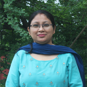
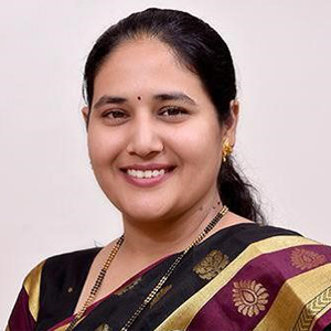
Our Team
Prof. Dr. Shamita Kumar
Principal
Dr. Madhurima Dey
Program Officer
Ms. Samruddhi Patwardhan
Program Officer
Past Contributors

Anand Shinde
Associate Professor
Prachi Dev
Program Officer
David Rodrigues
Contributors


