Books
Books and manuals included on this portal serve as foundational resources for anyone exploring the fields of geospatial technology, remote sensing, and satellite applications. These resources can help students build concepts, assist researchers in referencing core principles, and guide educators in designing curriculum or workshops—making them a vital component of the open geospatial learning ecosystem.
Books on Remote Sensing
The books on this portal cover various aspects of remote sensing, like satellite image interpretation, sensor technology, land use mapping, environmental monitoring, and integration with GIS. They provide both theoretical foundations and practical applications for learners and professionals in the geospatial field.
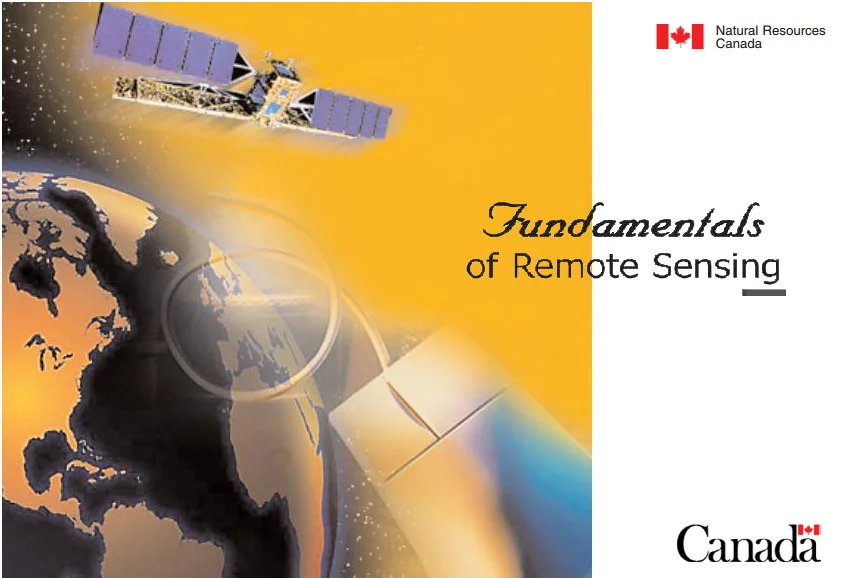
Fundamentals of Remote Sensing
Publisher Natural Resources Canada, Government of Canada
Type Educational PDF
Level Beginner to Intermediate
About A foundational open-access textbook that introduces key concepts in remote sensing, including electromagnetic radiation, sensors, platforms, image interpretation, and classification techniques. Suitable for students, educators, and early-career professionals in Earth observation and geospatial fields
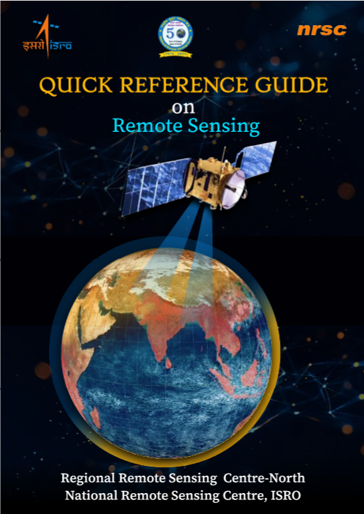
Quick Reference Guide on Remote Sensing
Publisher National Remote Sensing Centre (NRSC), ISRO
Type Handbook / PDF
Level Beginner to Intermediate
About This compact and user-friendly guide offers concise explanations of key concepts in remote sensing, including satellite orbits, sensor types, data products, and applications. Designed as a quick reference for students, educators, and early professionals, it simplifies technical terms with visuals and summary tables. Ideal for classroom use, training sessions, or as a ready reckoner while working on geospatial projects.
Principles of Remote Sensing
Publisher ITC (Faculty of Geo-Information Science and Earth Observation), University of Twente
Type Educational PDF / Textbook
Level Intermediate to Advanced
About This comprehensive textbook provides an in-depth understanding of remote sensing principles, technologies, and data interpretation methods. With clear explanations, illustrations, and examples, it is well-suited for university-level courses and independent study. It covers topics like electromagnetic radiation, image acquisition, preprocessing, and thematic mapping.
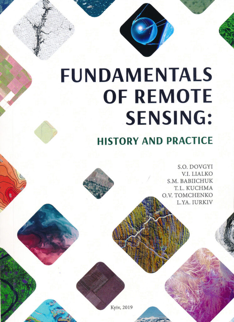
Fundamentals of Remote Sensing: History and Practice
Publisher National Academy of Sciences of Ukraine
Type Educational PDF / Academic Reference
Level Intermediate to Advanced
About This book presents a detailed overview of the evolution and current practices in remote sensing, with an emphasis on satellite-based Earth observation. It highlights both the historical context and technological advancements, making it a useful academic resource for researchers, students, and professionals involved in space science and geospatial studies
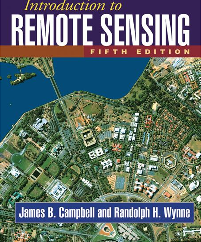
Introduction to Remote Sensing: Fifth Edition
Type Academic Textbook
Level Advanced Undergraduate to Graduate
About This authoritative textbook provides comprehensive coverage of remote sensing principles, technologies, data analysis, and applications in environmental and Earth sciences. Widely used in academic programs globally, it balances theory with practical techniques, making it valuable for both learners and professionals working in geospatial fields.
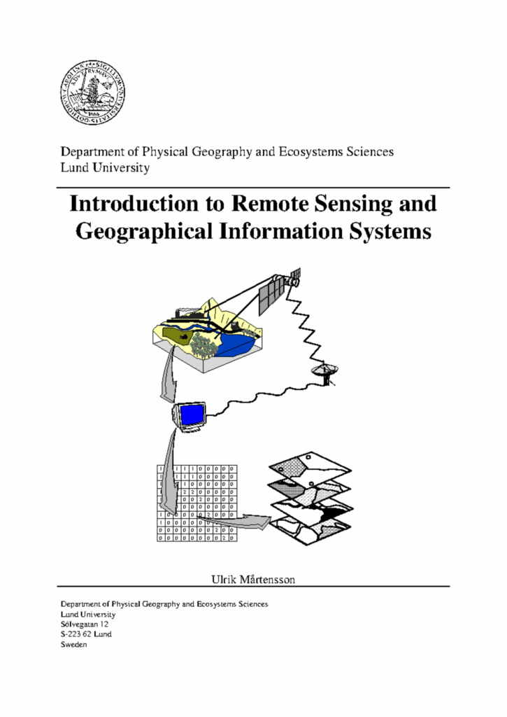
Introduction to Remote Sensing and Geographical Information System
Publisher Department of Physical Geography and Ecosystems Sciences, Lund University
Type Educational PDF/Lecture Notes
Level Undergraduate to Graduate
About This comprehensive guide introduces the principles of remote sensing and GIS, covering topics such as the history of remote sensing, electromagnetic radiation, satellite sensor systems, image preprocessing, and both raster and vector GIS techniques.
Download
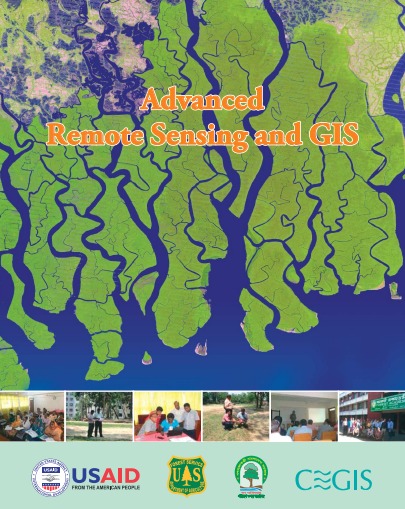
Advanced Remote Sensing and GIS
Publisher Bangladesh Forest Department
Type Training Manual / PDF
Level Advanced
About This manual provides in-depth guidance on advanced remote sensing and GIS techniques tailored for forest management and environmental monitoring. It covers topics such as land use and land cover mapping, image classification, and spatial analysis, with a focus on practical applications in Bangladesh’s forest sector. The resource is designed to enhance the capacity of professionals and practitioners in utilizing geospatial technologies for sustainable forest management.
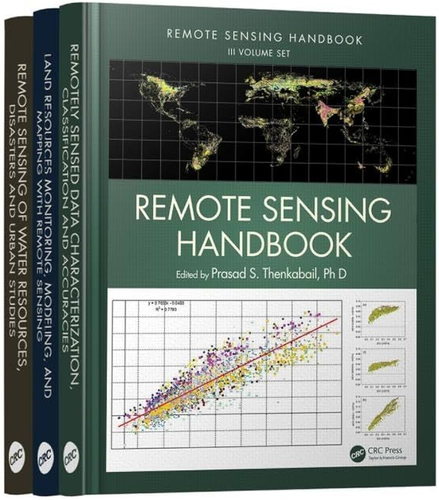
Remote Sensing Handbook
Publisher Taylor & Francis
Type Academic Textbook
Level Advanced
About This volume offers comprehensive coverage of remote sensing science, focusing on the characterization, classification, and accuracy assessment of remotely sensed data. It discusses data normalization and harmonization, uncertainties of remote sensing products, and the integration of advanced methods such as machine learning and cloud computing.

Exploring Remote Sensing Methods and Applications
Publisher IntechOpen
Type Open Access Edited Volume
Level
Intermediate to Advanced
About This book, edited by Rifaat M. Abdalla, presents a wide range of remote sensing methods and their practical applications across different fields such as environment, disaster risk reduction, agriculture, and urban planning. It combines theory and practice, offering insights into emerging technologies and innovative solutions.
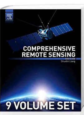
Comprehensive Remote Sensing
Publisher Elsevier
Type Edited Reference Work
Level Advanced
About
This extensive multi-volume reference covers the full scope of remote sensing science, technology, and applications. It includes contributions from global experts and provides in-depth content on Earth observation systems, data processing, geospatial analysis, and specialized applications in environmental science, agriculture, climate studies, and urban planning.
Environmental Applications of Remote Sensing
Publisher IntechOpen
Type Edited Academic Volume
Level Intermediate to Advanced
About This open-access volume presents a wide range of environmental applications using remote sensing technologies. It covers topics like coastal monitoring, land cover change, environmental modeling, and disaster assessment. The book offers theoretical background along with practical case studies. Download
Cloud-Based Remote Sensing with Google Earth Engine
Publisher Springer Nature
Type Academic Book
Level Intermediate to Advanced
About This book introduces cloud-based geospatial analysis using Google Earth Engine, a powerful platform for analyzing vast remote sensing datasets. It includes detailed tutorials, applications in land cover, deforestation, urban growth, and climate studies, making it useful for both researchers and educators. It emphasizes hands-on learning with JavaScript and Earth Engine’s web interface. Download

Remote Sensing of Plant Biodiversity
Publisher Springer Nature (Open Access)
Type Edited Academic Volume
Level Intermediate to Advanced
About This open-access volume brings together leading researchers to establish a common framework for detecting and evaluating plant biodiversity using remote and proximal sensing techniques. It covers theoretical foundations—linking spectral diversity to plant functional traits and phylogeny—and practical methods such as hyperspectral imaging and LiDAR for biodiversity assessment across scales. Download
Books on Geographical Information System (GIS)
Introduction to GIS Using QGIS
Publisher Self-published (Open Source Geospatial Foundation contributor)
Type Open-source eBook
Level Beginner to Intermediate
About This open-access book offers a practical introduction to Geographic Information Systems (GIS) using QGIS, a widely used free and open-source platform. It covers core GIS concepts, spatial data processing, and analysis techniques, making it a great resource for learners and educators alike.
Introduction to QGIS Tutorial
Publisher EAMENA (Endangered Archaeology in the Middle East and North Africa) Project
Type
Training Manual / Educational Resource
Level
Beginner
About
This booklet provides a step-by-step introduction to QGIS, a free and open-source Geographic Information System. It is tailored to beginners and focuses on creating basic maps using archaeological or environmental data. The guide is part of a broader toolkit developed by EAMENA to support cultural heritage documentation and geospatial analysis. Download
Books on Google Earth Engine

Introduction to Google Earth Engine and Sentinel-2 Imagery
Publisher EAMENA (Endangered Archaeology in the Middle East and North Africa) Project
Type Training Manual / Educational Resource
Level Beginner to Intermediate
About
This guide introduces users to Google Earth Engine (GEE) for working with Sentinel-2 satellite imagery. It covers the basics of using GEE’s JavaScript interface, accessing Sentinel-2 datasets, and performing fundamental remote sensing tasks such as image visualization and classification.