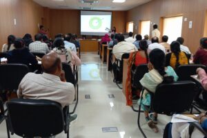
Hyderabad
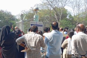
Jammu
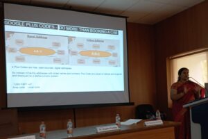
Thiruvananthapuram
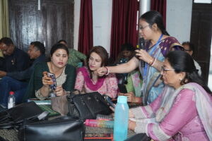
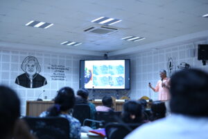
Gurgaon
Washim
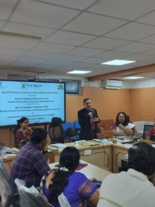
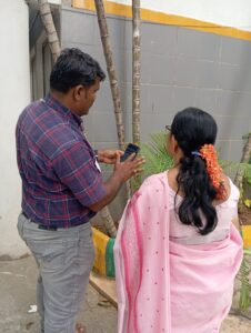
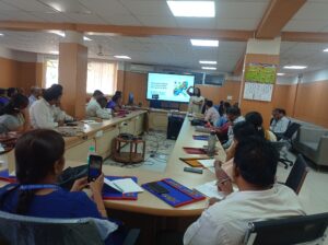
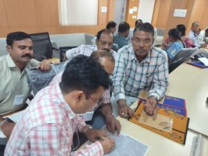
Bengaluru
Hyderabad
Jammu

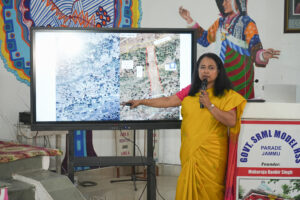

Location: Shri Ranbir Heritage School in collaboration with Department of Education and SCERT Jammu
Thiruvananthapuram
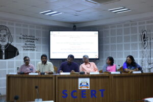
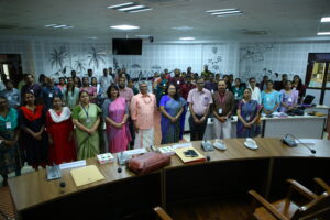
Location : SCERT Kerala
Gurgaon
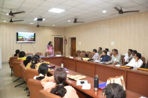
Location : SCERT Haryana
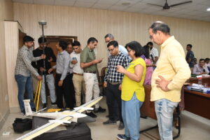
Washim
Location : DIET Washim
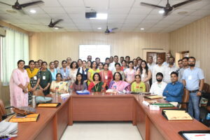
Bengaluru